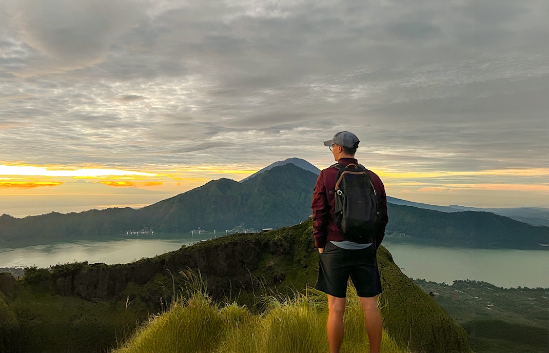
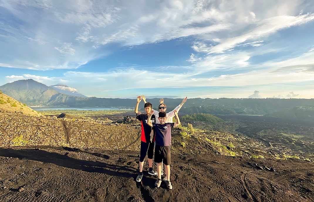
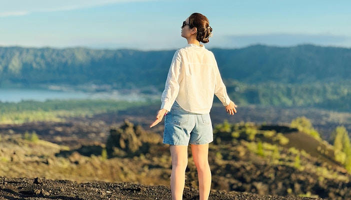
This is the goal for most sunrise trekkers. It’s 1,717 meters high, reachable in about 1.5 to 2 hours if you're starting from the standard trailhead. The views stretch over the lake and caldera, and on a clear day, you’ll see Mount Agung and even Lombok’s Mount Rinjani.
Understanding the geography around Mount Batur
Mount Batur sits inside a massive caldera that was formed by an ancient, cataclysmic eruption. And here's where it gets interesting: there's not just one crater but an inner and an outer caldera, a lake, a handful of villages, and a web of trails and viewpoints that connect everything. So before we get to the map, let me walk you through what’s where.
Mount Batur Summit
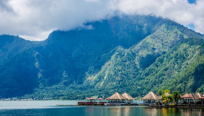
Lake Batur
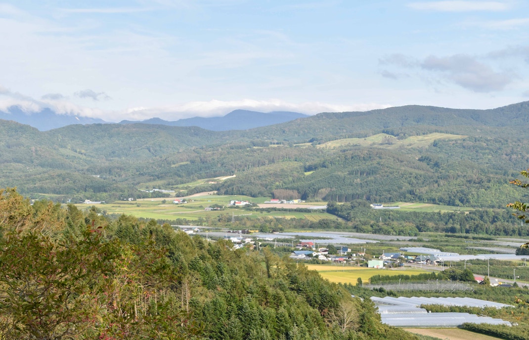
This is Bali’s largest lake, formed inside the caldera and fed by volcanic runoff. Locals fish here, some canoe across it, and most tours drive along its edge on the way to or from the summit or hot springs.
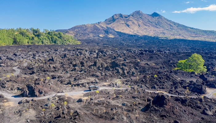
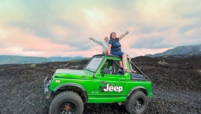
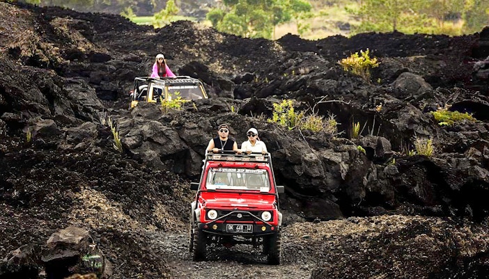
Black Lava field
This is the real deal; it’s rough, dark, and sharp terrain left behind by the 1963 eruption. You can hike through it or take a 4WD jeep. Don’t expect it to be pretty, but it’s fascinating to walk or drive across actual cooled lava.
Toya Bungkah
A small lakeside village that acts as the starting point for most sunrise treks. It’s quiet at first light, but after the hikes, it’s a stopover spot for breakfast or soaking in the nearby hot springs.
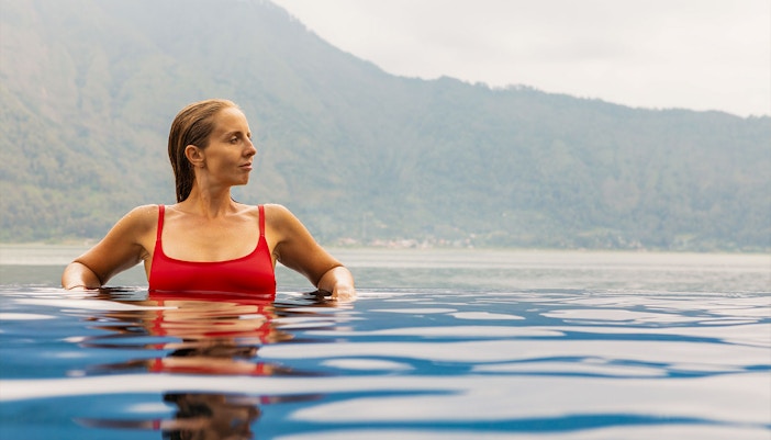
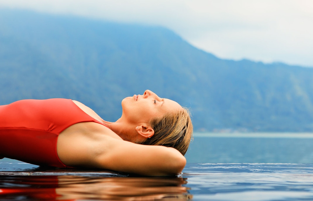
Toya Devasya & Batur Natural Hot Springs
These are the two main hot spring resorts on the lakefront. The water here is geothermally heated, and most tours include a stop after the hike. If you’re tired or just cold from the summit, this is where you want to be.
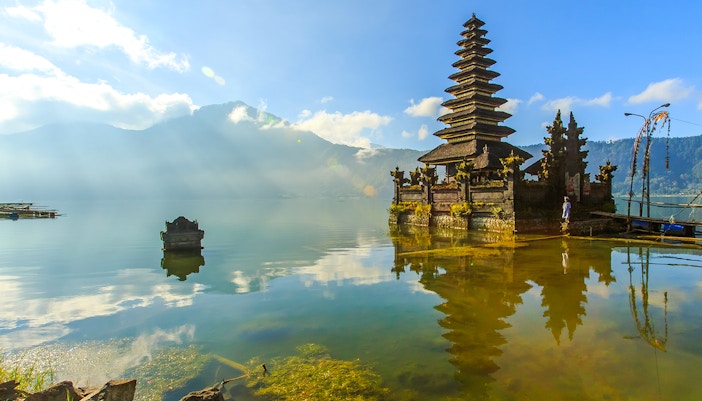
Pura Ulun Danu Batur
This temple is dedicated to the lake goddess and was rebuilt after the 1926 eruption. It's not inside the caldera but nearby in Kintamani. Most day tours make a stop here, and it’s a good place to understand how locals live with the volcano.
Penelokan & Kintamani Ridge
These are the main roadside viewpoints overlooking the caldera. If you're not hiking but still want to see Mount Batur from a distance, this is where most visitors stop, click photos, and sip coffee with a view.
Lava Tube Caves
Not marked on every map, but some jeep tours will take you here. These are hollow spaces formed by fast-moving lava and can be explored with a guide and a flashlight.
Trailheads and routes
The main trail to the summit begins at Toya Bungkah, but there are a few other access points. Some trails are steeper but shorter. If you're not going with a guide, knowing which trail you’re on matters a lot.